More than a month after it began north of Sedona, the Pocket Fire is now 100% contained at 27,393 acres. The announcement marks a significant turning point in the response, with active firefighting largely complete and remaining work focused on patrol, suppression repair and recovery across the burned landscape.
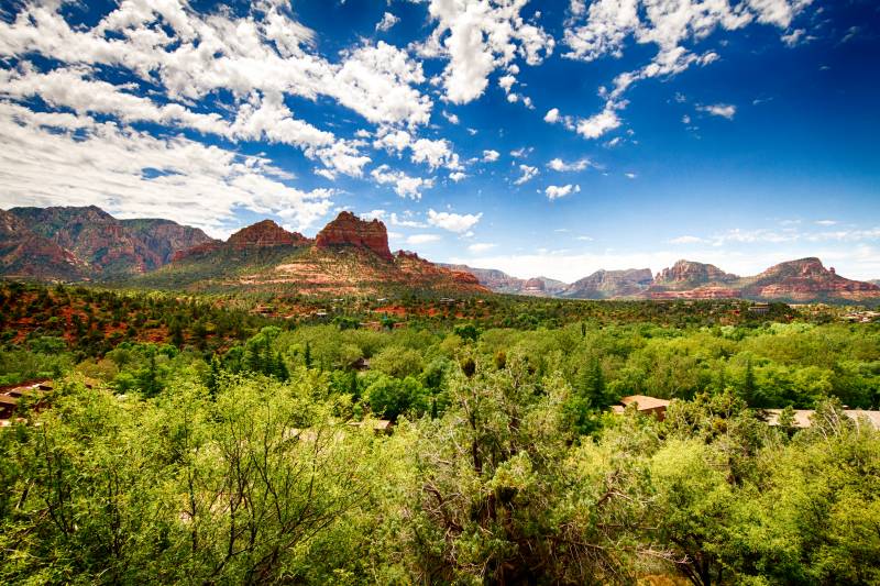
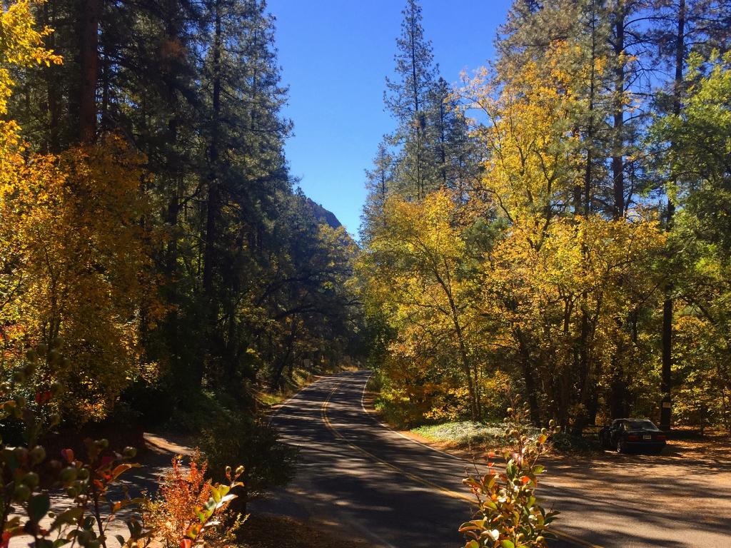
The fire started June 19 and burned through steep, rugged terrain that often limited firefighters’ ability to reach active flames directly. Crews relied heavily on aircraft and containment lines during dry periods, while the arrival of monsoon moisture later helped reduce fire activity and support containment efforts. With containment complete, the broad Pocket Fire closure was significantly reduced at 6 a.m. Friday, July 31. It has been replaced by smaller, targeted closures covering trails, recreation areas and drainage corridors where conditions may still pose a threat to public safety. State Route 89A remains open between Sedona and Interstate 17, restoring normal highway access through Oak Creek Canyon.
Trails remaining closed
The following trails will remain closed:
Bear Sign Trail #59
David Miller Trail #164
Dry Creek Trail #52
HS Canyon Trail #50
Secret Canyon Trail #121
West Fork Trail #108
The closures are not an indication that the fire is still actively spreading. They reflect the risks that can remain after a wildfire, particularly during the summer monsoon. Burned slopes can shed water, ash, rocks, branches and sediment much more rapidly than undamaged ground, creating the potential for flash flooding and debris flows with little warning.
Recreation sites remaining closed
Several popular recreation sites in and around Oak Creek Canyon also remain closed:
Banjo Bill Picnic Site
Bootlegger Picnic Site
Call of the Canyon
Encinoso Picnic Site
Grasshopper Point Picnic Site
Halfway Picnic Site
Manzanita Campground
These sites are included in the temporary Oak Creek closure because of their proximity to creek and drainage areas affected by the Pocket Fire.
Oak Creek and West Fork restrictions
The formal closure order includes National Forest land within 100 feet of Oak Creek, beginning north of the Call of the Canyon area and continuing south to where the creek leaves National Forest land and enters private property. The order also closes National Forest land within 100 feet of both sides of the West Fork drainage, from Forest Road 231 east to its confluence with Oak Creek. West Fork Trail and Call of the Canyon are included within that closure area.
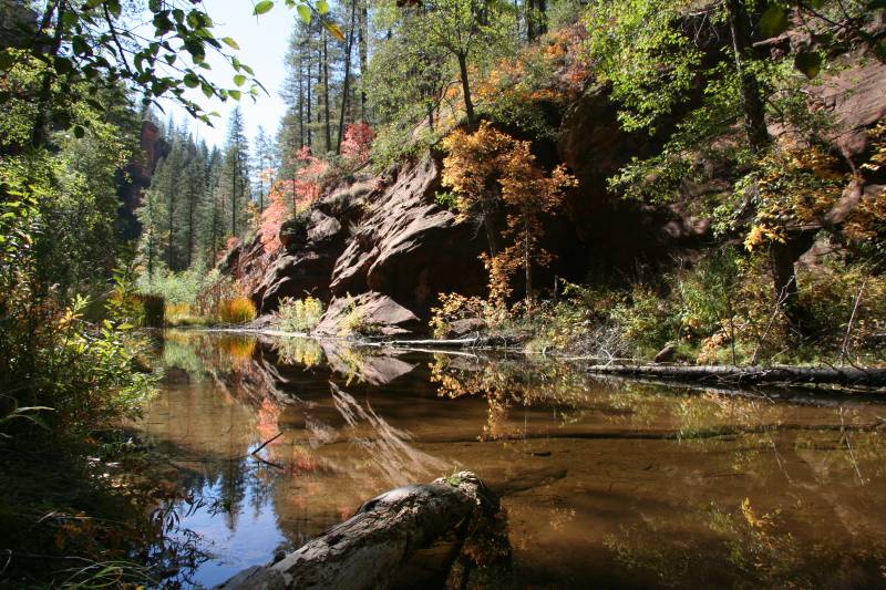
These restrictions are intended to protect visitors during and immediately following rainfall events. Even storms that occur some distance away can send water and debris downstream into creek corridors, making conditions especially dangerous for hikers, swimmers and visitors in low-lying areas. A post-fire analysis completed by the Coconino County Flood Control District found that most of the 24 properties initially evaluated downstream of West Fork face a low risk of flooding during small to moderate rainfall events. However, officials will continue monitoring the burn scar throughout the monsoon, particularly because debris dams could form and then fail, releasing sudden flows of water and sediment downstream.
The current Forest Service orders are scheduled to remain in effect through September 30, 2026, unless conditions improve enough for them to be lifted earlier. Visitors should check the latest Coconino National Forest closure notices before heading out and avoid creeks, washes and drainage areas whenever storms are nearby. The Pocket Fire may be fully contained, but recovery across the affected forest and watershed will continue well beyond the fire line. Respecting the remaining closures will give crews space to complete that work while helping visitors avoid the less visible dangers left behind after the flames are gone.